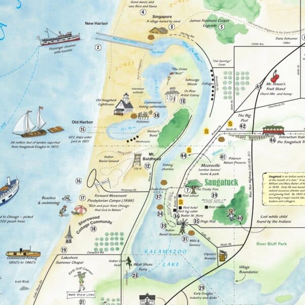
Holland artist-cartographer Mark Cook created the artwork, based on History Center research. The map recalls entertaining illustration/poster maps of the 1940-50 era, combining street layouts with stylized sketches and notes. More than three years in development, this project was made possible by gifts from Douglas Dunes Resort and Macatawa Bank totaling $20,000, with matching funds raised by History Center members and friends.
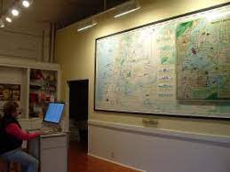
Over 100 map-highlighted references are keyed by number, allowing visitors to select sites of interest and call up corresponding information, narratives, and historical photographs on a nearby computer screen.
The original map is in the South Gallery at the History Museum. There is a copy in the Map Room at the History Center. You can also explore the map online.
VIEW the MAP DIG INTO THE DETAILS
Project credits
- Concept and text: James Schmiechen, with Kit Lane
- Data Input and Research: Dick Haight and Jack Sheridan
- Map Design & Illustration: Mark Cook, with Brian Cook
- Digital Production: John Capatosto for Agio Imaging, Inc.
- Corporate Underwriters: Dunes Resort and Macatawa Bank