Mouth of Kalamazoo River Map
Map
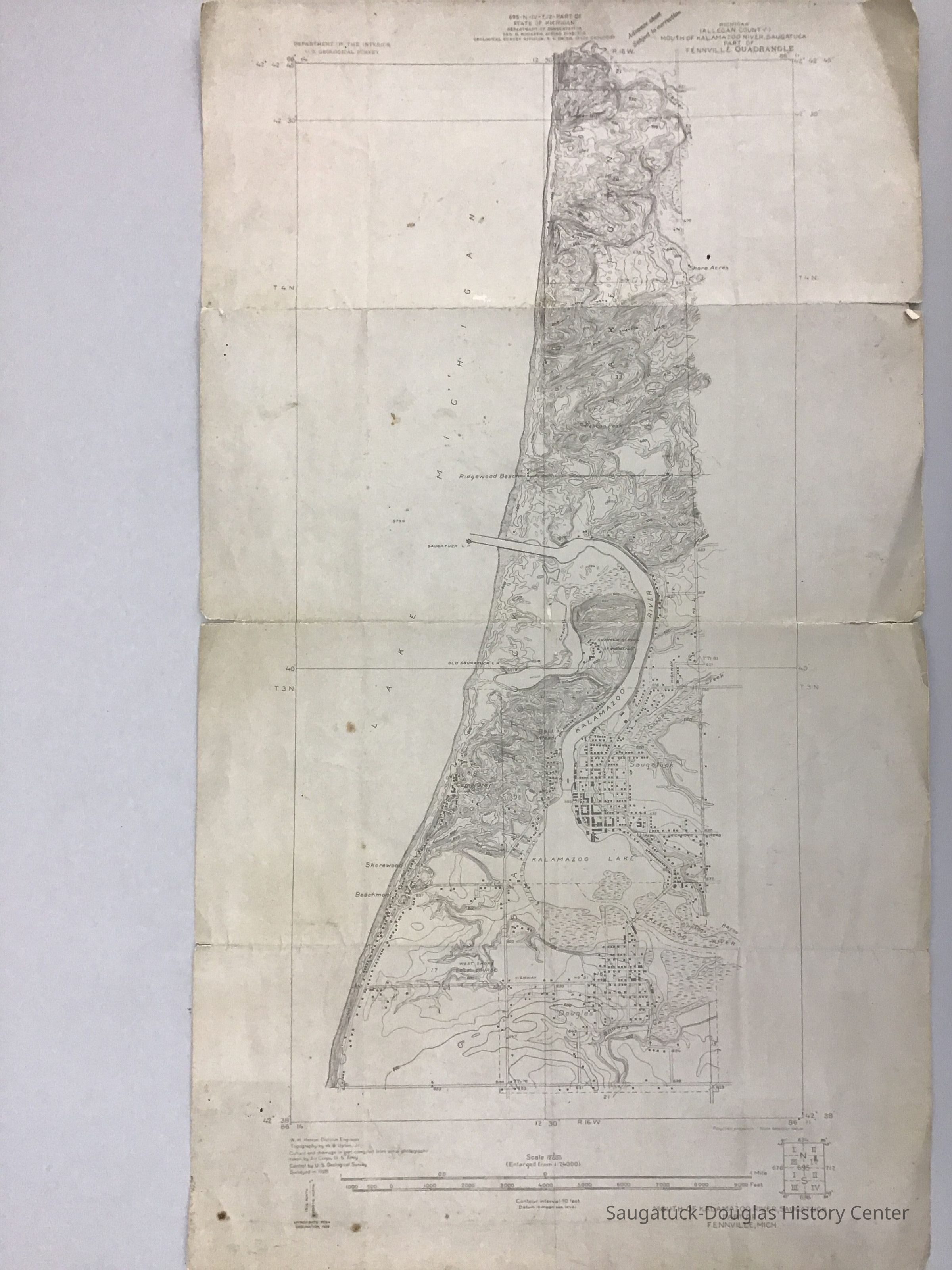
USGS quadrangle map of Douglas, Saugatuck, and Laketown township centered on the Kalamazoo River. Features on map include roads, buildings, elevation contours, and bodies of water. Place names on the map include Juniper Hill, Carver Drain, Shore Acres, Pelican Beach, Ridgewood Beach, Goshorn Creek, Shorewood, Beachmont, Clipson's Bayou, and the Tannery.
2022.88.38
2022.88
Found in Collection
United States Geological Survey
1:24000
Kalamazoo River
Conic
United States Geological Survey
1928
21-1/2 in
12-1/2 in
Flat Files drawer 11 Local maps
West Shore Golf Course 1920-
04/20/2023
07/23/2023