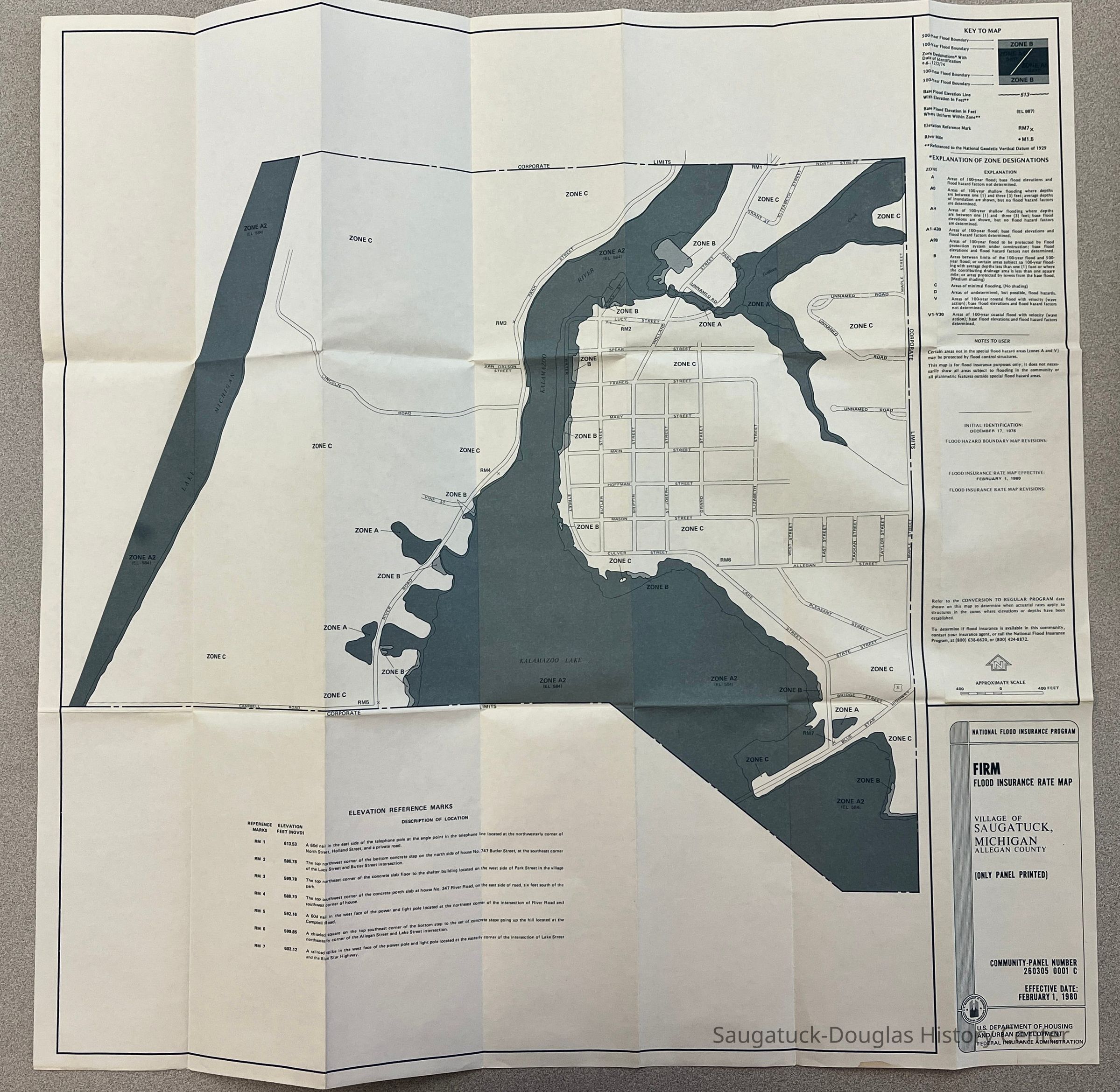
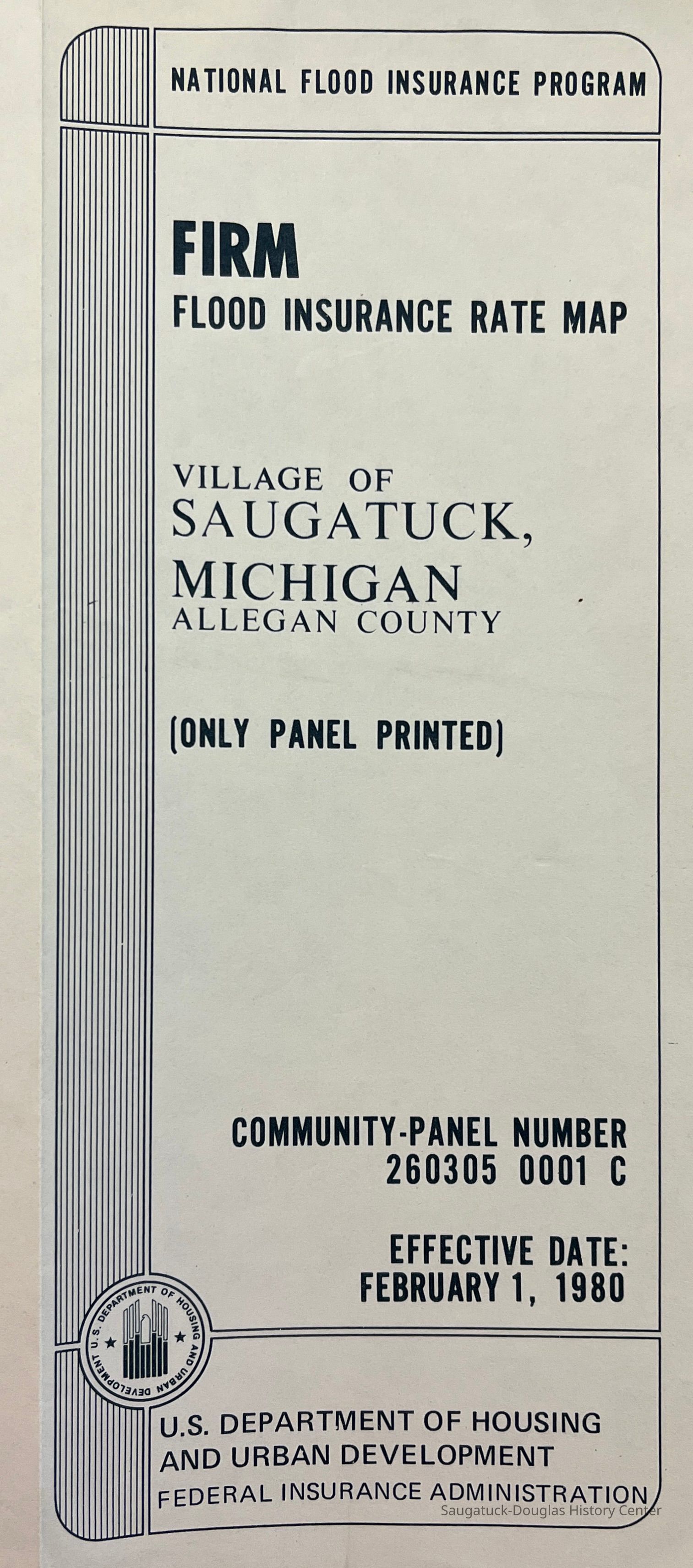
National Flood Insurance Rate Map of Saugatuck
Map
FIRM Flood Insurance Rate Map of the Village of Saugatuck Michigan
2022.88.30
Shows 500- and 100-year flood boundaries, as understood in 1980. In addition, the map shows elevation and gives explanation of the various flood zones marked.
MapsNature, ecology, the landscape
Winthers, Sally
2022.88
Found in Collection
folded 8.5x3.5"
26 in
26 in
146 Weather and Climate
Excellent
02/07/2023
07/23/2023