
West Michigan, the Playground of the Nation, 1935
Map
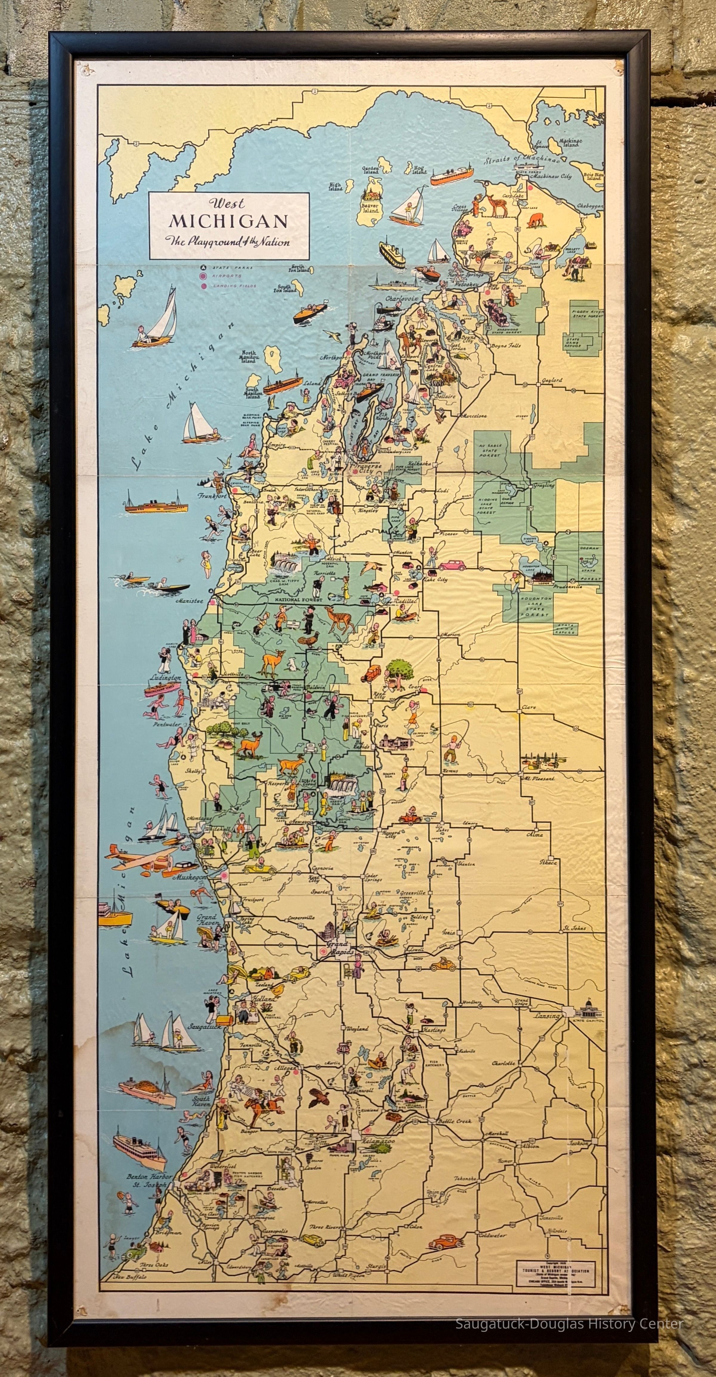
Tourism map titled "West Michigan, The Playground of the Nation," published by the West Michigan Tourist and Resort Association in 1935. The map is behind glass with a 1-inch black frame. The map shows the western side of Michigan's lower peninsula from the Straights of Mackinac to New Buffalo. Saugatuck is symbolized by a dancing couple and the Big Pavilion. Fennville and Holland is also indicated.
2000.03.03
As the Michigan Pike highway was completed, Michigan sought to promote itself as a tourist destination.
Maps1930+ Tourism, brochures, guides and maps
Winthers, Sally
2000.03
Donation, unconditional
West Michigan Tourist and Resort Association 1917-
1935
37 in
16 in
History Museum at Mt. Baldhead Park/Pump House Museum
Fair
The map is covered in fine wrinkles with tack hole damage in the corners.
10/08/2026
10/08/2026