Presbyterian Camp Redevelopment Plans
Archive
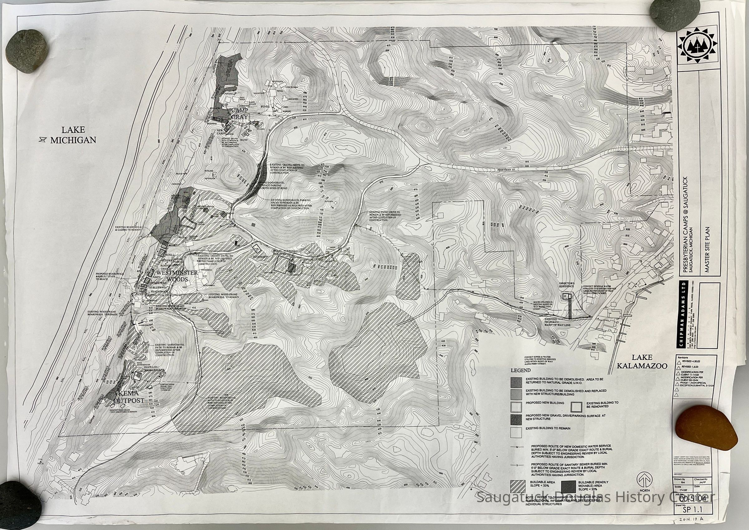
Topographical maps of the landscape and architectural drawings of the buildings at the Presbyterian Camp.
A. Master Site plan, revised 2004 - 30" high x 42" wide
B. Small topographic map compiled by Abrams Aerial Survey Corporation, Lansing, Michigan , 1960 (2 copies) 18" high x 24" wide
C.-? Uncatalogued box of maps.

2014.19
1897 Forward Movement Park, Gray and Presbyterian Camps -2014Buildings: LostDevelopment, land
Voss, Mary
2014.19
Barker, David "Dave"
Donation
Presbyterian Camps
Flat Files drawer 05 plans
07/21/2014
09/02/2024


