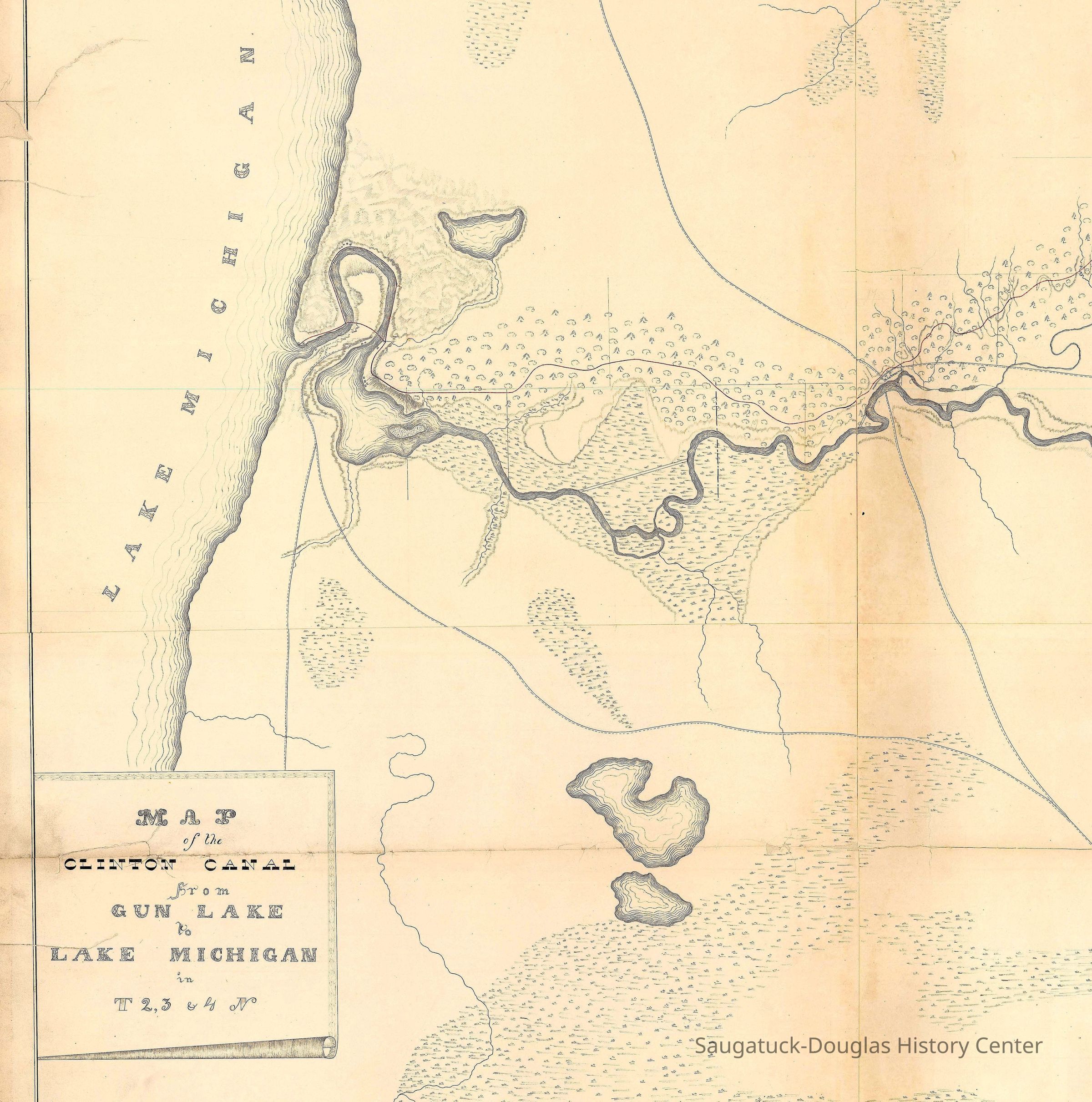
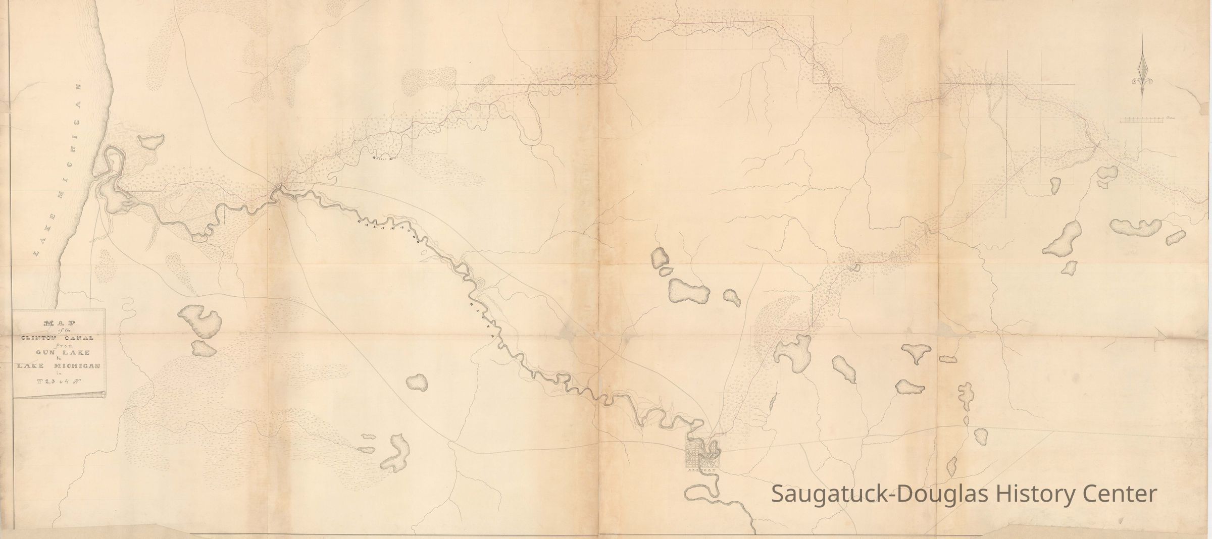
Clinton-Kalamazoo Canal map 1837
2024.42.02
This map illustrated a proposed canal that was never completed. The success of the Erie Canal inspired early Michigan politicians and entrepreneurs to build a canal that would bisect the lower peninsula to create a safer route for travel and commerce than sailing on the Great Lakes. The proposed 216-mile Clinton-Kalamazoo Canal was to run from Lake St. Clair up the Clinton River, near modern-day Mount Clemens, and west to the Kalamazoo River. Proposed by Governor Mason in 1837, construction began in 1838 but the project was abandoned in 1843 after only 13 miles had been completed. Nevertheless, the prospect that a canal was in the works, drew the attention of 1830s land speculators to many points along the Kalamazoo and probably inspired the invention of the paper city of Breese.
Transportation: waterMaps1830 Settlement, pioneer era
Winthers, Sally
2024.42
Clark, Chris
Donation, unconditional
Sent via email by Chris Clark, Oct. 2024. Please contact the Archives of Michigan for permission to publish.
Digital data in CatalogIt
Old Harbor/Channel piers pre-1906/Ox-Bow LagoonIndian PointGerber's Landing/Peach Tree Landing/Breese
"I believe the canal map is from 1837, in spite of what the web page says [1839]. It’s part of a set where the title page says the surveys were done in 1837." -- Chris Clark
10/05/2024
10/05/2024