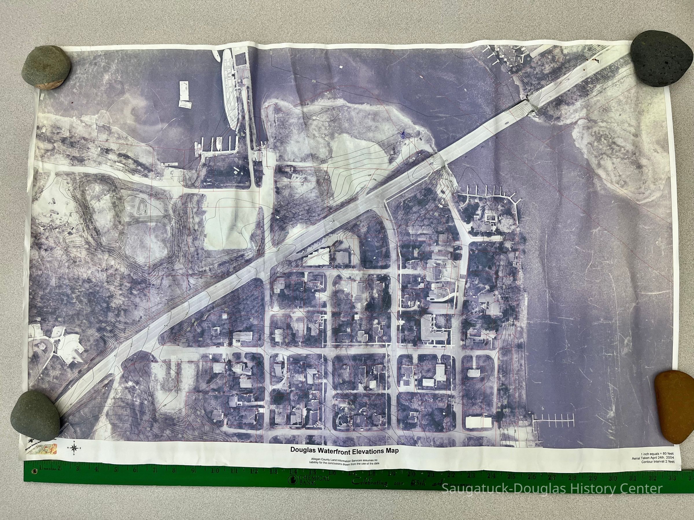
Douglas Waterfront Elevations Map
Archive
Two aerial photographs of Douglas including downtown Douglas and Wade's Bayou. Photographs include contour lines for elevation. Photograph was taken April 24th, 2004. Produced by Allegan County Land Information Services.

2023.12.03
2023.12
Royce, Frederick Eagle
Donation, unconditional
24 in
36 in
Flat Files drawer 11 Local maps
03/21/2023
07/23/2023


