Township Plat Map circa 1920
Archive
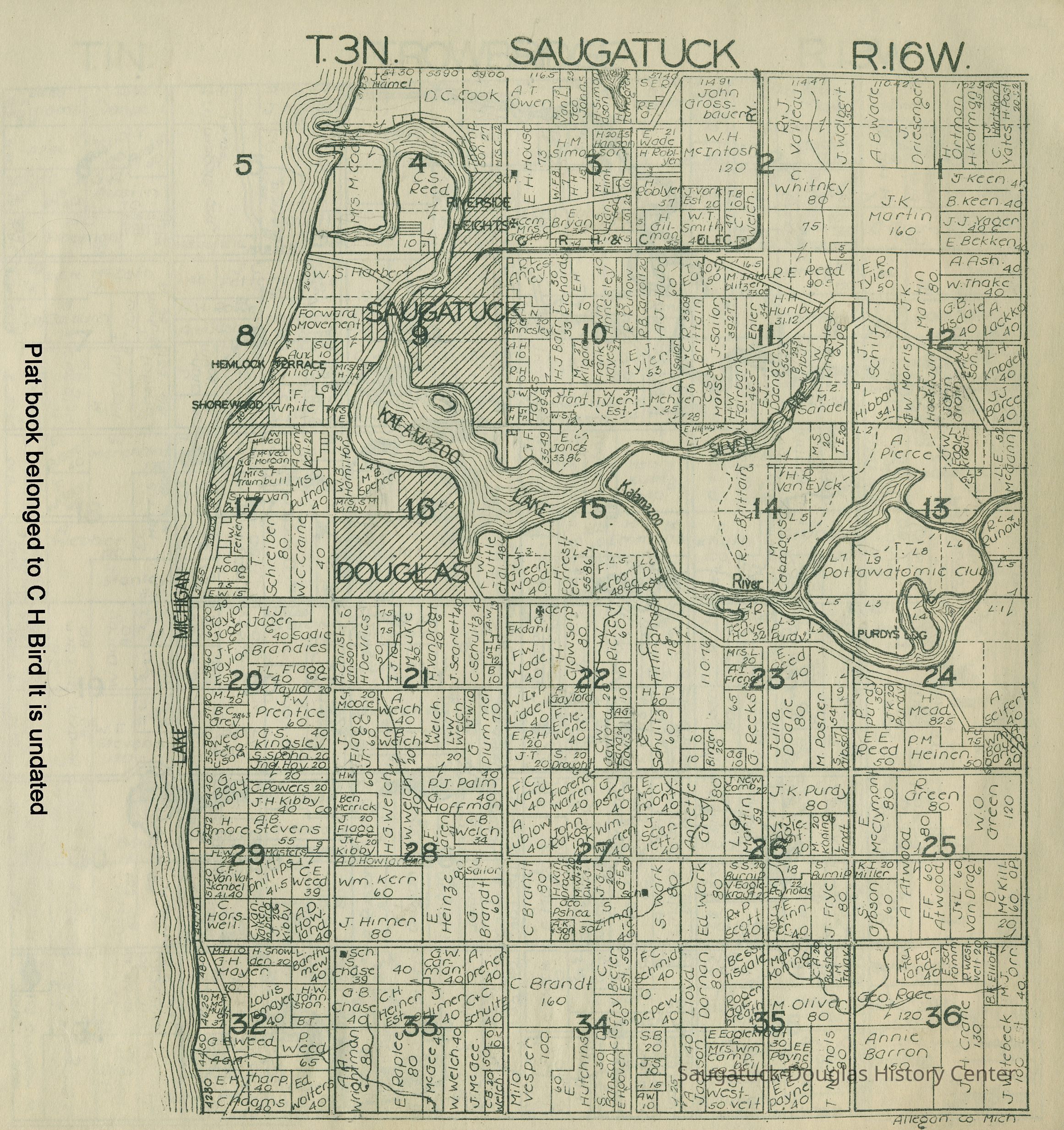
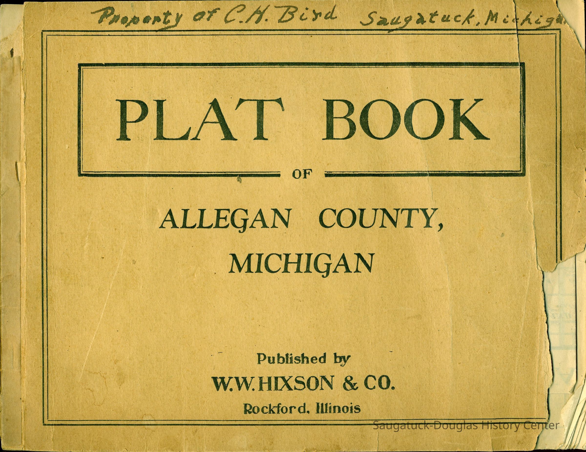
Scans of the cover and two pages from a plat book owned by Charles Bird that shows developments named Riverside Heights and Hemlock Terrace. The new Kalamazoo outlet is shown, as well as the lake shore properties annexed by Douglas. Other interesting details include the Interurban G.R.H. & C. Electric railroad tracks, Purdys Landing, Pottawatomie Club, Forward Movement, Cook, Putnam, McVea and Reed parcels. Schools, like Chase School, are shown as square blocks. Crosses indicated cemeteries.
It is presumed that all photos are from the same book.
2023.10.53
The map shows who owned each parcel of land in the township.
Winthers, Sally
2023.10
Found in Collection
Flat Files drawer 16 plat and property maps
These image(s) were copied from the SDHC photo blog [or the Jack Sheridan drive if that was a superior version] in preparation for updating the SDHC website in 2023. The location of an original or printed version of these photos was unknown at the time of cataloging.
"I found a couple of parcels that sold in 1915 and one in 1919. Philetus Purdy died in 1922, so the map's date is more likely circa 1920." Email from Chris Clark to Sally Winthers, 18 Apr, 2023
04/17/2023
06/20/2024