Aerial 1960
Photograph
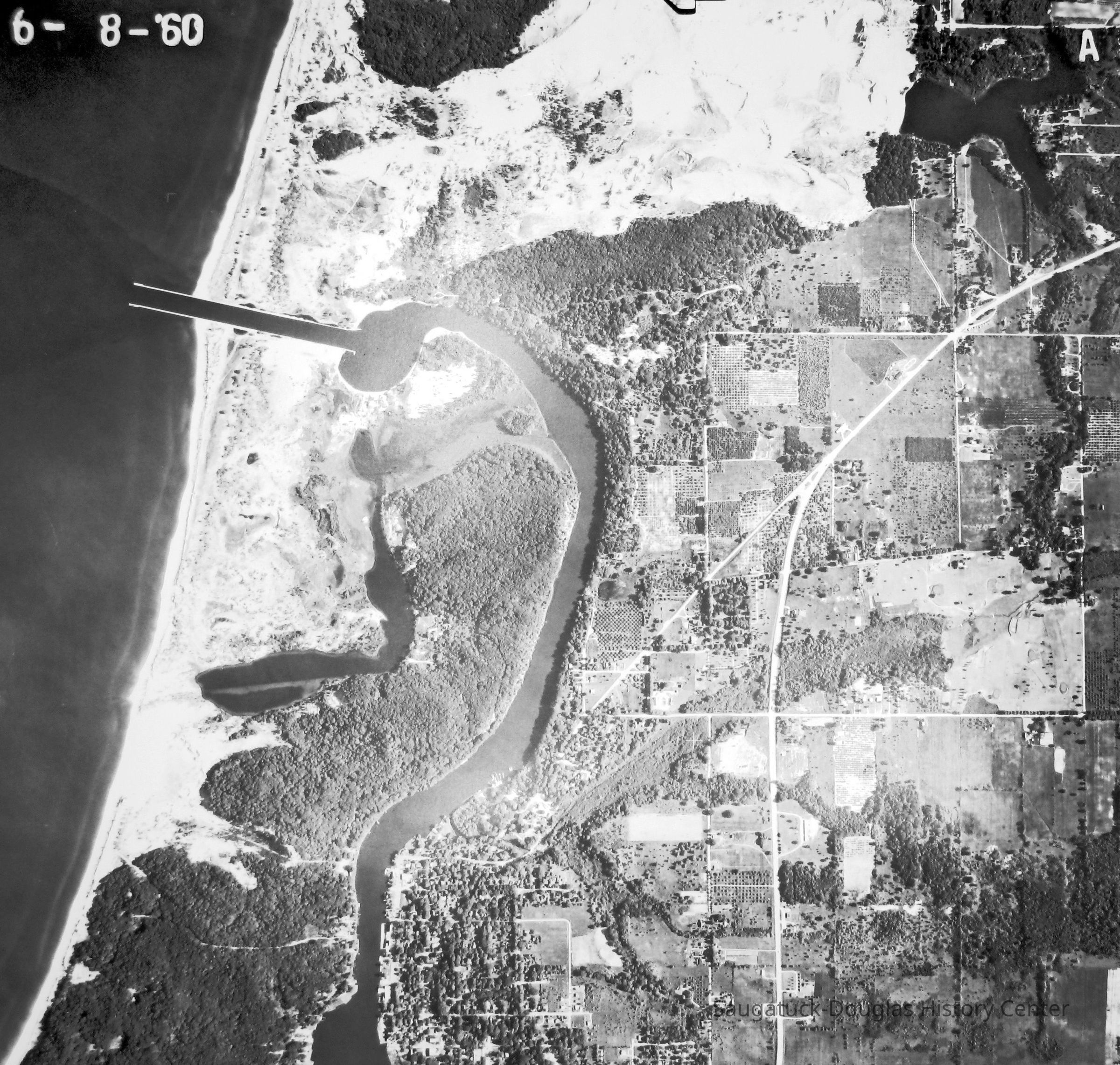
Digital image of 6-8-'60 aerial photo that shows the course of the river from Saugatuck to the new harbor channel piers. Goshorn Lake is shown in the upper right corner. The landscape is still dotted with may orchards.
2023.57.34
Digital scan
Old Harbor/Channel piers pre-1906/Ox-Bow LagoonSaugatuck Harbor Natural Area/South Denison Property/Gay/Nude Beach;Saugatuck Harbor Piers/Channel 1906-present
Development, landNature, ecology, the landscapeNautical
Winthers, Sally
2023.57
Found in Collection
Jun 8, 1960
Digital data in CatalogIt
02/08/2026
02/08/2026